
India’s Mission Drishti satellite has successfully entered orbit aboard a SpaceX Falcon 9 rocket, marking a significant leap in the country’s private space capabilities and Earth observation technology. Launched from Vandenberg, California, the satellite developed by Bengaluru-based startup GalaxEye introduces a first-of-its-kind OptoSAR system that promises uninterrupted, all-weather imaging of the planet. The development is being seen as a turning point not only for India’s commercial space sector but also for its strategic surveillance and data independence ambitions.
At the core of Mission Drishti is a technological innovation that merges electro-optical (EO) imaging with synthetic aperture radar (SAR) into a single operational platform. This fusion enables the satellite to capture high-resolution images regardless of weather conditions or time of day overcoming long-standing limitations that have constrained traditional Earth observation systems.
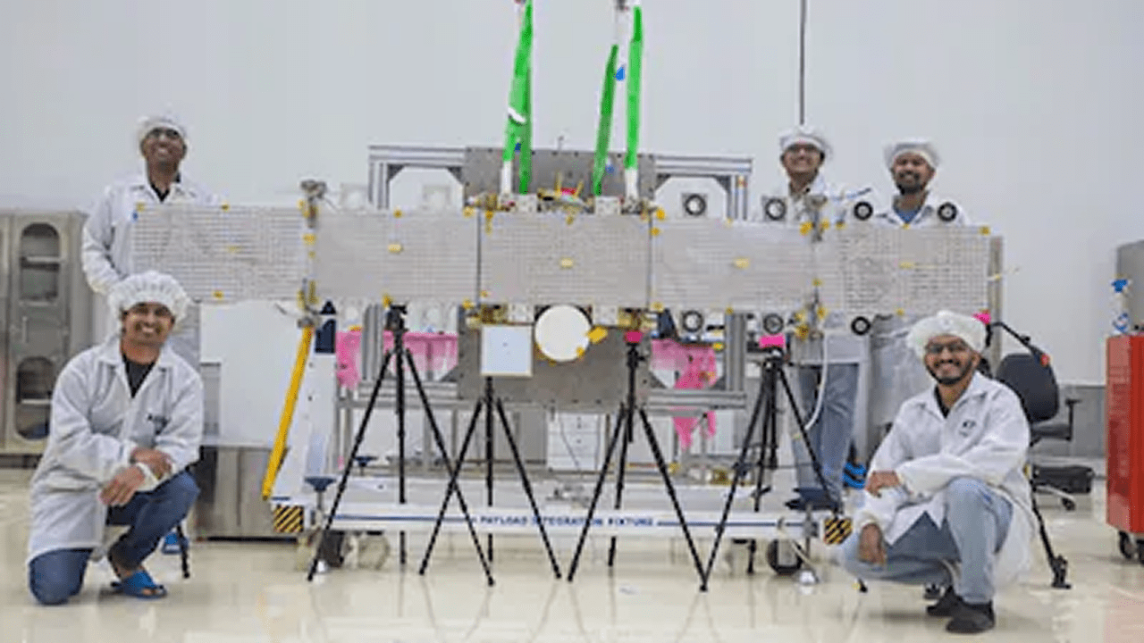
Weighing approximately 190 kilograms, the satellite is the largest privately built Earth observation satellite in India to date. Its deployment comes after more than five years of indigenous research and development, reflecting the rapid maturation of India’s private space ecosystem.
Prime Minister Narendra Modi described the launch as a landmark achievement, highlighting the role of young innovators in advancing India’s technological frontiers. The mission has also drawn strong endorsements from industry leaders and policymakers, who view it as validation of recent reforms aimed at opening the space sector to private participation.
Also read: AI “Meet Your Younger Self” Trend Explodes Online, Turning Nostalgia Into Viral Storytelling
A New Standard in Earth Observation Technology
Mission Drishti’s OptoSAR capability is what sets it apart globally. Traditional optical satellites rely on sunlight and clear skies, making them ineffective during cloudy conditions or at night. SAR systems, while capable of penetrating clouds and operating in darkness, produce imagery that is often complex to interpret.
By synchronizing these two technologies, Drishti delivers a persistent, high-reliability stream of data. This hybrid approach allows for continuous monitoring of terrain, infrastructure, and activity an advantage with far-reaching implications across sectors.
The satellite is designed as a dual-use platform, supporting applications in defence, agriculture, disaster response, maritime monitoring, and infrastructure planning. Its ability to provide consistent imaging in diverse environmental conditions is expected to significantly enhance decision-making capabilities for both government and commercial users.
Strategic Implications for India
The launch of Mission Drishti carries notable strategic weight. India has previously faced gaps in real-time, all-weather satellite surveillance, at times relying on foreign commercial imagery for critical intelligence. The new satellite begins to address these limitations by offering indigenous, reliable data streams.
Industry experts say this capability strengthens India’s position in an increasingly data-driven security environment. Persistent observation especially in regions with challenging weather conditions enables better situational awareness and faster response times.
Lt. Gen. A.K. Bhatt (Retd.), Director General of the Indian Space Association, described the mission as a “pivotal shift” toward sovereign surveillance capabilities. The technology is expected to enhance national security while also improving disaster preparedness and response mechanisms.
Industry / Market Impact
Mission Drishti signals a broader transformation in India’s space economy, where private companies are beginning to play a central role in high-value missions. The success of GalaxEye underscores the effectiveness of policy reforms led by IN-SPACe, which have focused on enabling private participation, fostering innovation, and building commercial pathways.
The satellite has already generated strong global interest, with both government and commercial clients seeking access to its high-frequency, high-quality Earth observation data. A partnership with NewSpace India Limited (NSIL), ISRO’s commercial arm, is expected to further expand the global distribution of Drishti’s imagery.
This growing demand reflects a larger trend in the global space market, where downstream applications such as analytics, geospatial intelligence, and climate monitoring are driving value creation.
Also read: DJI Launches Lito Series Drones: Entry-Level Innovation with LiDAR for First-Time Creators
What Happens Next
With the satellite now in orbit, GalaxEye’s immediate focus is on commissioning and calibration. Initial imagery is expected to be delivered to customers within the coming weeks, marking the beginning of its operational phase.
Looking ahead, the company plans to scale Mission Drishti into a constellation of up to 10 satellites by 2030. Such a network would enable near-continuous global coverage, significantly enhancing data availability and reliability.
This expansion aligns with India’s broader push to build a sovereign Earth observation infrastructure, complementing the existing fleet of 29 active Earth observation satellites operated under national programs.
Expert Analysis / What This Means
Mission Drishti represents more than a single satellite launch it signals a structural shift in how India approaches space-based intelligence and commercial data services. For users, the ability to access uninterrupted, all-weather imagery means more accurate forecasting, improved agricultural planning, and faster disaster response.
From an industry standpoint, the success of OptoSAR technology could redefine global benchmarks in Earth observation, pushing competitors to adopt similar hybrid systems. The mission also strengthens India’s credibility as a provider of advanced satellite data, potentially opening new export markets.
Strategically, the development reduces dependence on foreign imagery providers, enhancing national security autonomy. Compared to earlier limitations, where visibility gaps affected operational readiness, Drishti offers persistent surveillance capabilities that can operate without interruption.
In the long term, the planned satellite constellation could transform India into a major hub for geospatial intelligence, influencing sectors ranging from defence to climate science. The mission underscores a broader evolution: India’s private space firms are no longer experimental players they are becoming architects of next-generation space infrastructure.